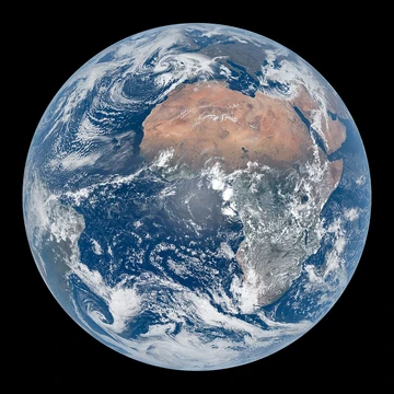
Polder
Low-lying land enclosed by dikes, reclaimed from water.

Txllxt TxllxT · CC BY-SA 4.0
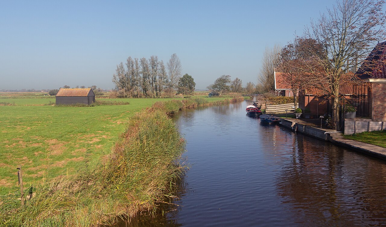
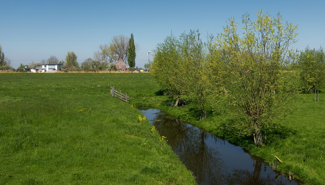
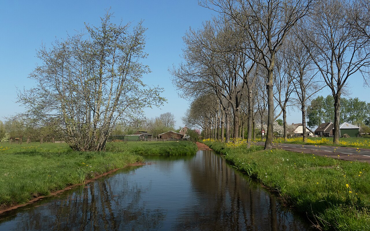
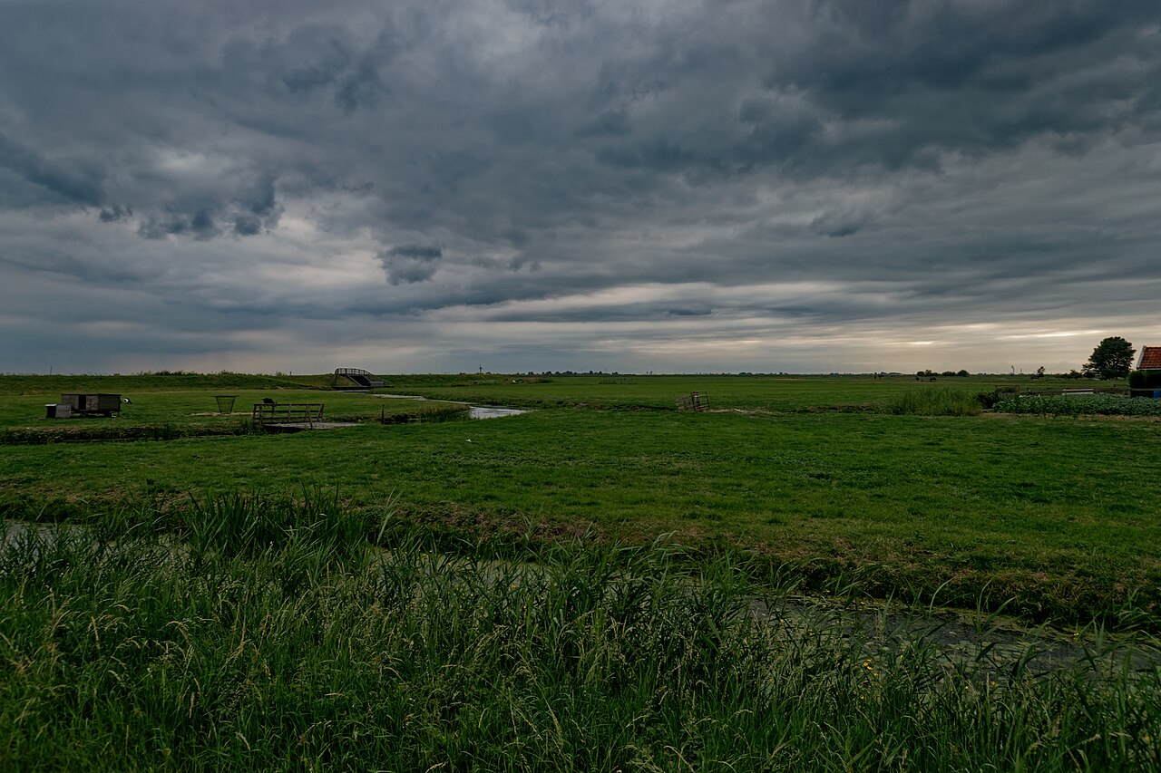
A polder is a low-lying tract of land that forms an artificial hydrological entity, enclosed by embankments known as dikes. Polders are created by reclaiming land from bodies of water, separating flood plains from the sea or river by a dike, or draining marshes. They are most commonly found in river deltas, former fenlands, and coastal areas, and are at risk of flooding at all times.
- type
- Artificial hydrological entity
- common_locations
- Netherlands, Bangladesh, Belgium, Canada, China
- percentage_of_Netherlands_land_reclaimed
- 20%
- total_polders_in_Netherlands
- 3,000
- first_embankments_in_Europe
- Roman times
- first_polders_constructed
- 11th century
Lore & Background
The Dutch word 'polder' derives from Middle Dutch 'polre', Old Dutch 'polra', and ultimately from 'pol-', a piece of land elevated above its surroundings, with the augmentative suffix '-er' and epenthetical '-d-'. The word has been adopted in thirty-six languages. Polders are at risk of flooding at all times, and care must be taken to protect the surrounding dikes. Dikes are typically built with locally available materials, each with its own risks: sand is prone to collapse due to saturation by water; dry peat is lighter than water and potentially unable to retain water in very dry seasons. Some animals dig tunnels in the barrier, allowing water to infiltrate; the muskrat is known for this activity and is hunted in certain European countries.
Reader's Guide
Polders are significant because they represent a major human intervention in hydrology, allowing agriculture and development in low-lying areas. The Netherlands is frequently associated with polders, as its engineers became noted for developing techniques to drain wetlands. The necessary cooperation among all ranks to maintain polder integrity gave its name to the Dutch version of third-way politics—the Polder Model. Flooding of polders has also been used as a military tactic, such as along the Yser River during World War I. Water boards, called waterschap or hoogheemraadschap, were set up to maintain water defences and control water levels; they hold separate elections and are the oldest democratic institutions in the Netherlands. The legacy of polders extends globally, with examples in Bangladesh, Belgium, Canada, China, and other countries.
Did You Know?
- The ground level in drained marshes subsides over time, and all polders will eventually be below the surrounding water level some or all of the time.
- Polder land made of peat will sink because peat decomposes when exposed to oxygen from the air.
- The Dutch saying 'God created the world, but the Dutch created the Netherlands' illustrates the country's association with polders.
Gallery
Frequently Asked Questions
What is a polder?
A polder is a low-lying parcel of land that sits below the surrounding water level and is kept dry through artificial drainage and protective barriers. It functions as a man-made hydrological unit, essentially a stretch of territory that has been pulled out of the water and held in place by its enclosing dikes.
Where are polders most commonly found?
Polders appear most frequently in river delta regions, former wetland areas, and coastal zones. The Netherlands, Bangladesh, Belgium, Canada, and China are all well known for having significant polder landscapes.
How is a polder created?
The process involves building dikes around a stretch of water or marshland to isolate it, then pumping out the water to expose the land beneath. Once the area is drained and fully enclosed, it becomes usable for agriculture, settlement, or other purposes.
How old is the practice of creating polders?
The earliest embankments in Europe date back to Roman times, though the first true polders were constructed around the 11th century. In the Netherlands alone, roughly 3,000 polders exist today, accounting for about 20% of the country's total land area.
What is the main danger facing a polder?
Because a polder sits below the surrounding water level and depends entirely on its enclosing dikes and drainage systems, it is perpetually vulnerable to flooding. If the protective barriers are breached or the pumps fail, the land can be inundated almost instantly.
More in Geology & Earth Surface 1-23
Spotted an error? Know more?
This is a living reference — every entry is fact-audited, and reader corrections feed straight into our audit queue. Suggest an edit · See this site's audit record